Urban reference / 01
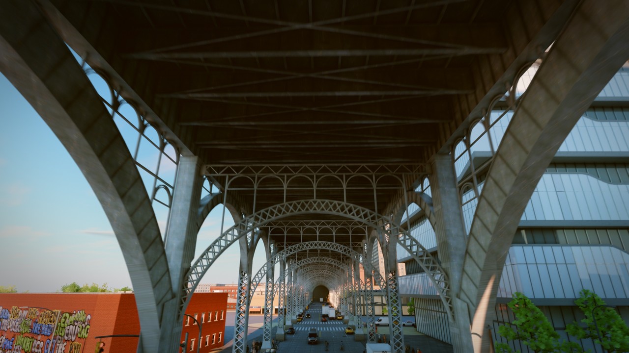
New York.
At street level.
Terrain. Streets. Buildings.
One city, compiled from public records.
Loads Valdrada from Hugging Face.
WebGL2 required for the live city; trailer fallback available.
Scene & image: M. K. Turkcan / Valdrada · Image CC BY 4.0 · NYC Open Data & © OpenStreetMap contributors · CARLA assets CC BY 4.0
Prepare / ExportTake a scene into your build.
Export a camera recipe for a self-hosted Valdrada build. The showcase above follows its own camera.
Camera settings and source identity. No city geometry or captured frames.
Inspect recipe JSON
Source / v0.5.2Follow the scene to its data.
Source code is pinned to v0.5.2. The hosted showcase is maintained upstream and may change independently.
- Code
- MIT · f7da3a2 ↗
- Compiled city
- ODbL 1.0 · v0.5.2 data ↗
- Tile index
- Retained source manifest ↗
- Coordinate frame
- Local meters · x east, y up, z south
A modeled reference, with simulated traffic. Current street conditions and navigation accuracy are unverified. Python simulation, OpenUSD export, Unreal and training are not connected to Spacetime here.
Licenses & asset terms ↗Recipes select procedural pedestrians. Review the upstream asset terms before making a training dataset.