
GPS-denied navigation
Test navigation.
Before the mission.
Your routes. Your maps. Your stack.
Terrain reconstruction · Ojai / CA-33
How much detail is enough?
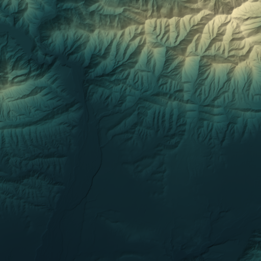
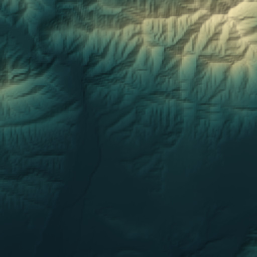
- Fewer height samples
- 93.75%
- RMS height deviation
- 3.94m
- Absolute p95 height deviation
- 8.92m
- Maximum height deviation
- 33.67m
Terrain representation test. Compared with the retained raster—not surveyed truth or navigation accuracy. Fewer samples does not mean the same reduction in file size.
Magnetic navigation · GPS unavailable
Navigate by the field.
Add interference. Watch corrections stop, then recover.
Same invented route. Same odometry.
- Odometry error
- 270m
- Aided error
- 45.8m
Magnetic update rejected
The magnetic pattern does not fit the reference.
Invented map and measurements. Error shown against synthetic truth; field performance remains unmeasured.
Method, limits & sources
A bounded scalar-pattern search along a known corridor. Rejected updates leave odometry running. Raw sensor compensation and unconstrained 2D navigation are outside this demo.
The uncertainty scale has a 100 m floor and is heuristic, not a calibrated confidence interval. No Ojai survey or PNI flight-accuracy claim is represented here.
Your next mission
Three questions.
- Where does navigation fail?
- Which data closes the gap?
- Is the improvement worth the cost?
After the mission
Log the failure.
Verify the fix.
Update the fleet.
Every verified correction can improve the next run.
Proposed workflow. Customer data stays within the agreed boundary.
Mission demo
Mission-conditioned coverage
Follow the route.
Find the gap.
Illustrative workflow
No navigation results are plotted.
Retained Ojai terrain provides visual context. Route, gap and proposed remedies are illustrative, not a georeferenced mission assessment.
Customer reference
Find the limiting segment.
Review where coverage, alignment or observable detail could limit the planned route. A flagged segment is a question to investigate.
What we compare
Same held-out recordings. Same vehicle configuration. Public maps, your maps, then targeted additions. Model adaptation is measured separately.
Compare positioning error, false fixes, recovery, time within limits and onboard cost. Resolution, coordinate accuracy and freshness are separate variables.
Evaluation protocol ↗Navigation results remain unmeasured. Public references are baselines; absolute accuracy requires independent control.
Data and deployment
Prepare customer maps for an agreed area, sensor set and onboard runtime. Compare corrections, new imagery, collection or a route change. Tasking is scoped with providers. Confirm feasibility, rights, price and acceptance criteria before work.
Verified fleet observations can update regional references. Candidate changes are replayed against failures and held-out missions before release, with versioning and rollback.
Packages and services ↗Models and simulation
Shared geography. Sensor-specific perception. UAV first; ground, surface maritime, underwater and space require separate integration and validation.
Planned Omniverse / Isaac Sim integration supplies simulation and synthetic data. Spacetime’s training pipeline updates the models. Odyssey is being considered for human-facing generated experiences. Benchmark measurements stay tied to source geometry and recorded evidence.
Reference updates, model releases and runtime releases are versioned and tested separately.
Paid evaluation
Bring one mission.
Maps. Route. Vehicle. Error limit.
General descriptions only. Arrange mission-data transfer separately.
The decision
- Where your reference falls short.
- What to fix. What to keep.
- The evidence. The cost. The next test.